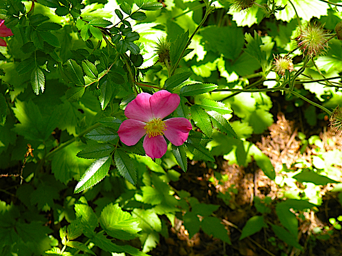
Hiking and Walking
-
Join the Anchor Inn Team in 2024
The Anchor Inn Hotel has jobs available for 2024, and […]
January 3, 2024 -
A different kind of year…
Who could have predicted that Twillingate, this picturesque island of […]
June 15, 2020 -
Iceberg Lingo
The waters off the coast of Newfoundland (Iceberg Alley) are […]
May 21, 2019
News
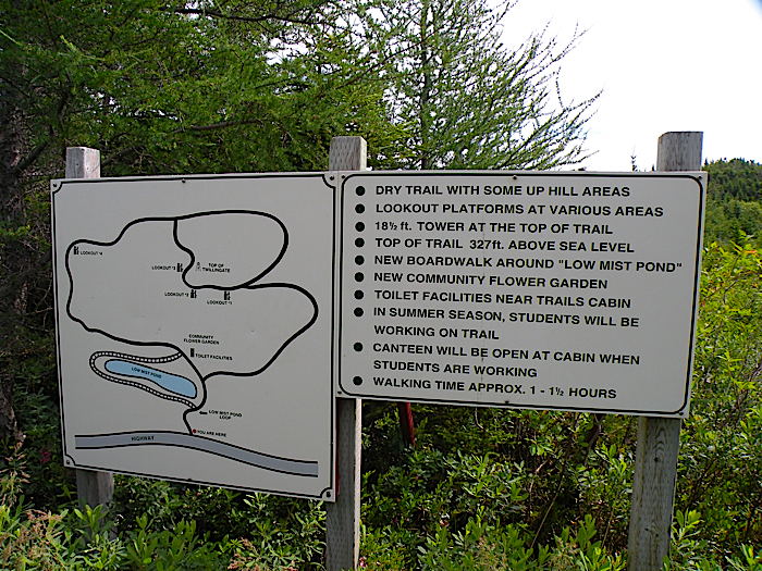
Top of Twillingate Trail
Difficulty Level: Easy/Moderate
Duration: 1.5 – 2hrs
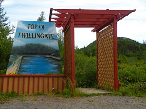
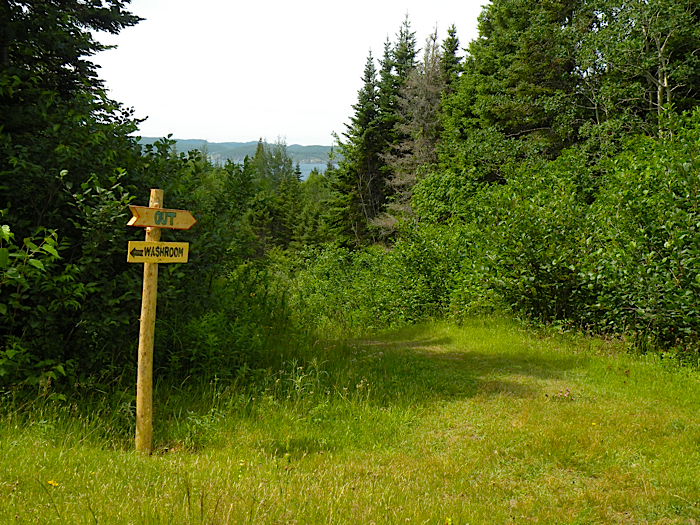
Entrance to the Top of Twillingate Hiking Trail
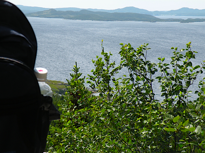
The hike to the Top of Twillingate delivers the most rewarding views along the way and at the end of this 40 minute hike to the final lookout point.
In total between an hour to hour and a half, this easy to moderate hike follows along a wooded trail with 3 lookout stations before reaching the peak of Twillingate island at 327 ft above sea level, with its 18 ft lookout tower.
It starts in the community called Bayview, previously known as Gillard’s Cove. To get to the starting point, drive as if leaving Twillingate onto Route 340.
Take the first exit to the right, called Rink Road and stay on this road until you see the sign for Top of Twillingate trail on your left. There is parking at the start of the hike.
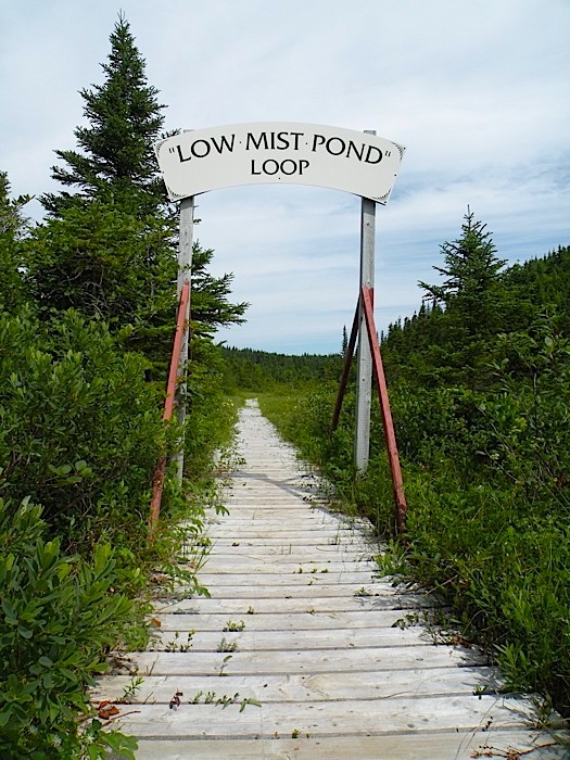
It is a dry trail with some uphill areas and a few hand rails and stretches of board walk to help out. An option is to do the additional loop to the trail on a board walk around Low Mist Pond.
A hike to the top of the hill provides a breathtaking view of Twillingate on a day with clear visibility.
The trail is marked very well and there are washroom facilities at the start of the trail near the trail cabin. The area has a few picnic tables and along the trail there is bench seating.
Don’t forget to sign the guest book that is kept at the lookout tower at the peak of the trail.